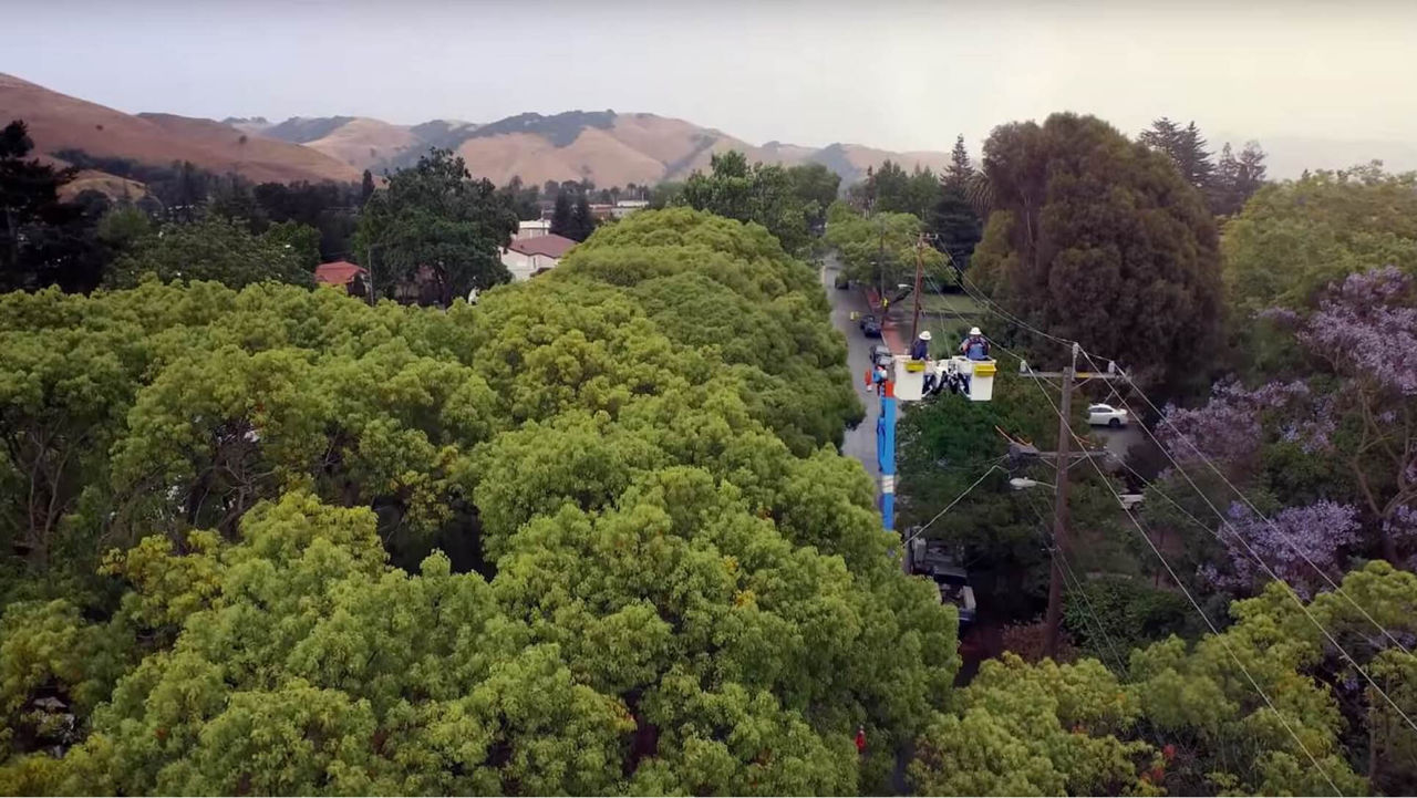
Community Wildfire Safety Program
Expanding our efforts to prevent wildfires
High temperatures, extreme dryness and record-high winds have created conditions in our state where any spark at the wrong time and place can lead to a major wildfire. More than half of the area where our customers live and work is at high risk for wildfires. Our Community Wildfire Safety Program includes short-, medium- and long-term plans to make our system safer.
PSPS during the COVID-19 pandemic
As the COVID-19 pandemic continues to impact our communities, we understand the increasing struggles facing our customers. In light of these difficulties, we have developed guidance to identify the essential work that must continue for the benefit of our customers and communities. Emergency response, critical maintenance, work to further our preparedness for PSPS. This has been done in consultation with and consistent with direction from the California Office of Emergency Services (Cal OES), CAL FIRE and California Public Utilities Commission (CPUC), work associated with our Wildfire Mitigation Plan and new customer connections are examples of work that will continue.
READ OUR WILDFIRE MITIGATION PLAN (PDF, 2.5 MB)
VIEW OUR 2020 CWSP UPDATE PRESENTATION (PDF, 1.28 MB)
How we are taking action
We are improving our electric system to meet this challenge and have a plan for preventing wildfires. See our progress by county (PDF, 8.1 MB). This includes:

ROUTINE SAFETY INSPECTIONS OF ELECTRIC INFRASTRUCTURE
PG&E is conducting safety inspections of more than 15,000 miles of power lines in 2020 in areas of extreme (Tier 3) and elevated (Tier 2) wildfire risk as defined by the California Public Utilities Commission (CPUC) High Fire-Threat District Map, as well as additional miles in non-high fire-threat areas.
LEARN MORE ABOUT THE SYSTEM INSPECTIONS PROGRAM

MAKING OUR SYSTEM STRONGER AND MORE RESILIENT
We’re improving our infrastructure with stronger poles, covered power lines and targeted undergrounding. We are also installing “sectionalizing” devices and switches and making the grid more flexible during outages and establishing new temporary microgrid technology.

MEETING AND EXCEEDING STATE VEGETATION AND FIRE SAFETY STANDARDS
We are inspecting vegetation and pruning or removing more than one million trees to maintain clearance from power lines.
LEARN MORE ABOUT OUR ENHANCED VEGETATION MANAGEMENT PROGRAM

REDUCING PUBLIC SAFETY POWER SHUTOFF IMPACT
This year, PG&E is improving our Public Safety Power Shutoff (PSPS) program by making events smaller in size, shorter in length and smarter for our customers.
LEARN MORE ABOUT PUBLIC SAFETY POWER SHUTOFF

IMPROVING OUR WEATHER MONITORING TECHNOLOGY
We are installing advanced weather stations in high fire-threat areas to more precisely predict the need for and timing of PSPS events. We’re adding approximately 400 advanced weathers stations this year to achieve our goal of 1,300 new weather stations by 2022. You can view the data collected by our weather stations is by visiting pge.com/weather and at MesoWest.

INSTALLING MORE HIGH-DEFINITION CAMERAS
We are adding nearly 200 high-definition cameras in high fire-threat areas this year to achieve our goal of nearly 600 by 2022, increasing visual coverage across high fire-threat areas to more than 90 percent of our service territory. You can view images collected by our HD cameras by visiting pge.com/weather and ALERTWildfire.

WILDFIRE SAFETY OPERATIONS CENTER
We continue to coordinate prevention and response efforts by monitoring wildfire risks in real time from our Wildfire Safety Operations Center. The Center monitors high-fire threat areas, which encompass over 50 percent of PG&E’s 70,000-square-mile service area. The center also observes weather model information, satellite images and other enhanced, real-time data for experts tracking wildfire conditions and threats.
Do you live in a high fire-threat area?
The California Public Utilities Commission (CPUC) worked with CAL FIRE and other utility and public safety experts to develop a High Fire-Threat District Map, adopted in January 2018. The map identifies areas across California that have the highest likelihood of a wildfire impacting people and property, and where additional action may be necessary to reduce wildfire risk.
- Tier 3 areas are at extreme risk for wildfire
- Tier 2 areas are at elevated risk for wildfire
- Zone 1 Tier 1 High Hazard Zones are areas with high numbers of dead and dying trees
Visit CAL FIRE for wildfire readiness tips
Wildfire Safety resources
Wildfire Safety
Wildfire Recovery Support
Emergency Preparedness
Wildfire Safety Webinars
Public Safety Power Shutoff resources
Frequently Asked Questions
Event Updates
Planning Maps
Potential Outage Map
Live Outage Map
Humboldt Local Power Source Project (PDF, 1.7MB)
Other PG&E resources
Medical Baseline Program
Backup Power
Safety Action Center
Weather and PSPS 7-Day Forecast
Resources for those with accessibility, financial, language and aging needs
Community Wildfire Safety Program resources
CWSP
See Our Progress (PDF, 160 KB)
See Our Progress by county (PDF, 8.1 MB)
Wildfire Mitigation Plan
System Inspections Program
Enhanced Vegetation Management